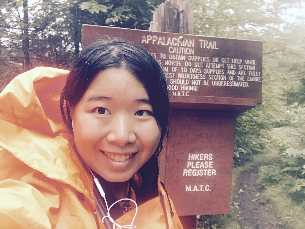
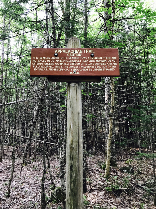
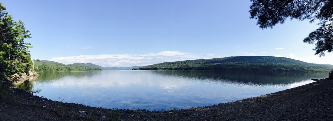
The 100 Mile Wilderness (Abol Pines Campsite to Monson, ME): Days 97-105
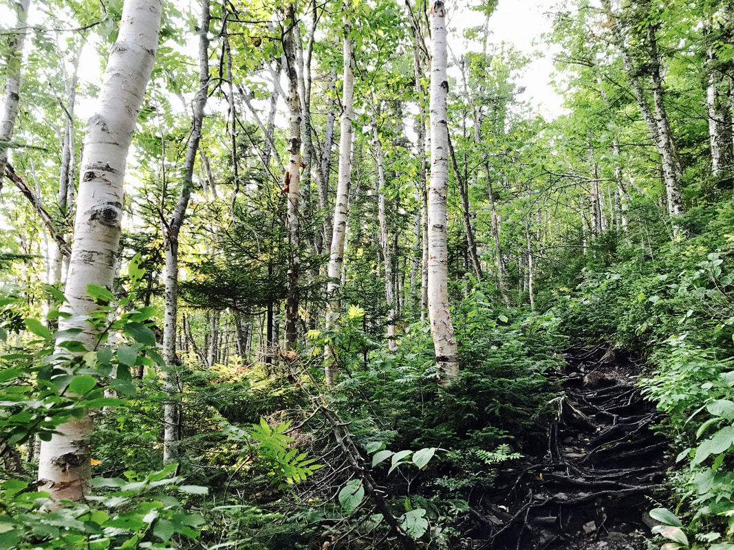
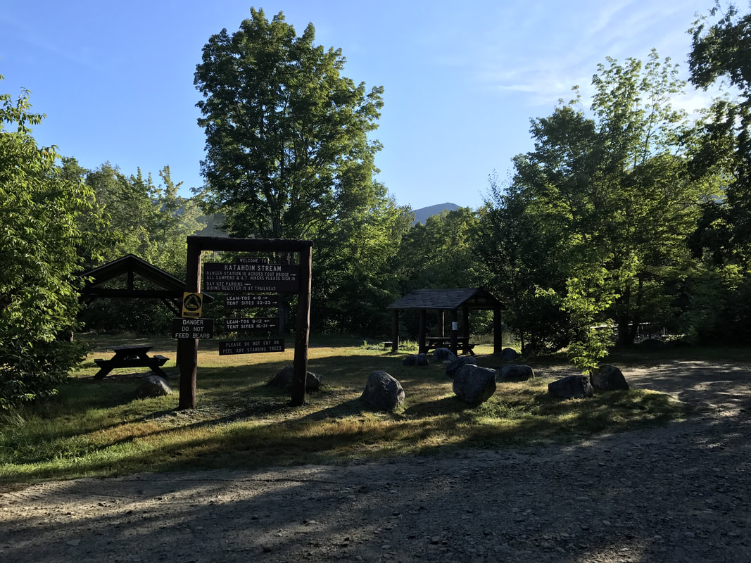
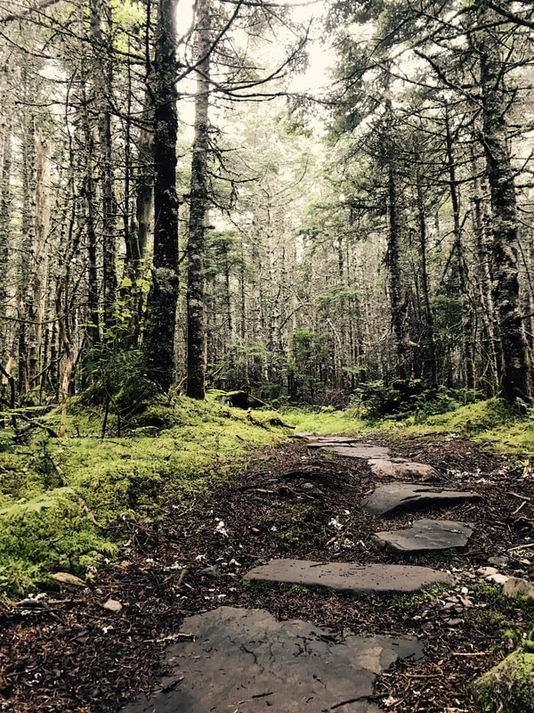
After staying at Katahdin Stream Campground, I leisurely stretch, eat, and watch Katahdin hikers head to the trailhead in the morning. I start hiking, enjoying the mossy woods of Maine, though after Katahdin, my legs tremble with fatigue at the slightest downhill.
2 miles in, I run into Perfect Storm and Nickel, two flip-flop thru-hikers. I sit beside them in a mossy clearing.
“15 months ago, I weighed 350 lbs,” Perfect Storm tells me. “I wasn’t always heavy…after I got married, I just started eating my emotions.”
"I got frostbite. Three of my toes turned black. It took three weeks for them to turn pink again... "Someone died when we were up there [in the Smokies]. He stealth camped, and when they came to the shelter to evacuate everyone, he wasn't there." - Perfect Storm, flip-flop thru-hiker
I ask Nickel how he got his trail name.
“When I hiked in 2013, I got all my gear from Walmart. I wasn’t sure if I’d like this hiking thing, so I nickeled-and-dimed it.”
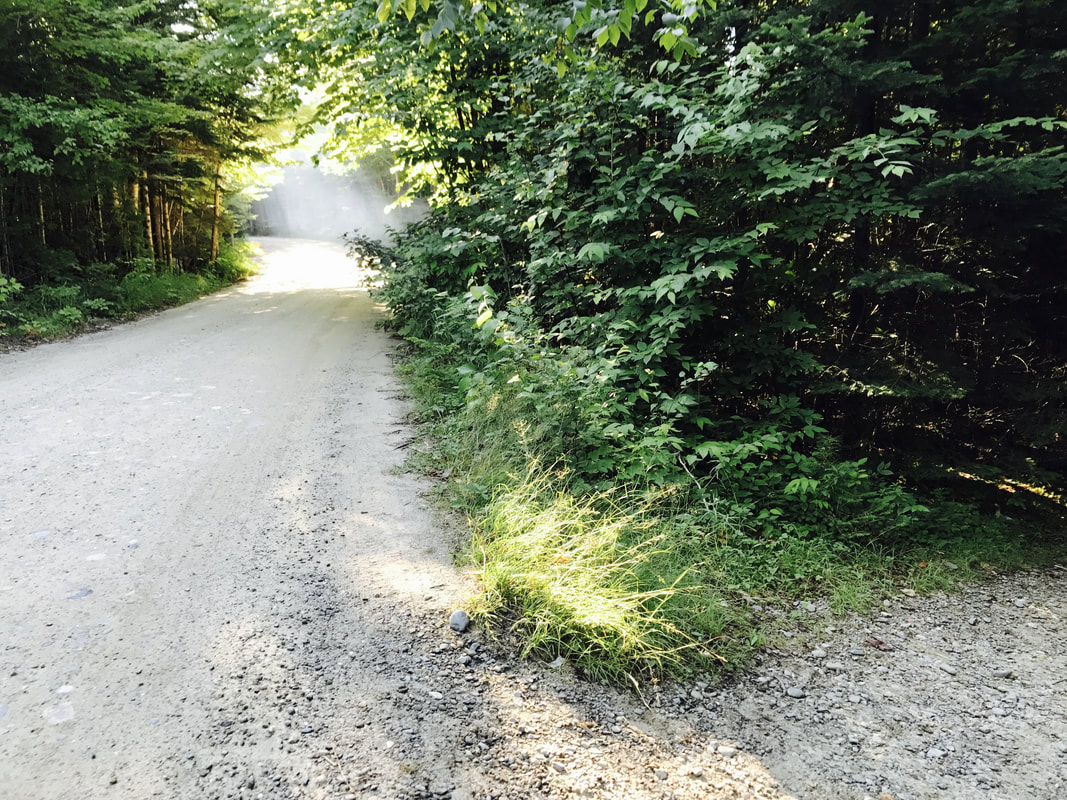

The morning continues pleasantly. Then, the trail runs past a series of swamps, and I get swarmed by mosquitoes.
I quickly learn why the mosquito is the unofficial state bird of Maine. The insect repellent I wear is completely ineffective. These mosquitoes bite through my leggings and seek out every inch of unprotected flesh. Every few seconds, I look down to find multiple mosquitoes latched onto my legs, their stomachs distended with my blood. I blindly slap at them with my hands, and each time, my hand comes away with a dead mosquito in my palm. At times, 5-10 mosquitoes hover around the same tiny spot of skin.
By the end of the day, I count at least 60 bites, not counting the ones I cannot see, or the multiple bites in the same place. My legs become swollen, lumpy, red logs. I struggle in vain to avoid scratching them.
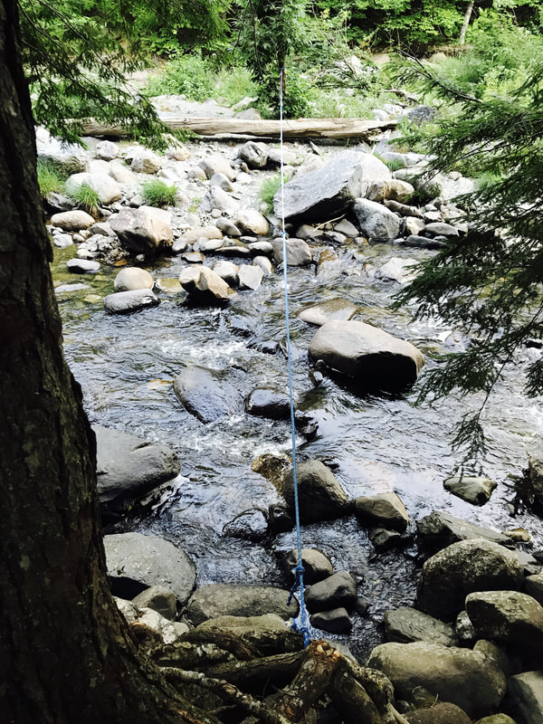
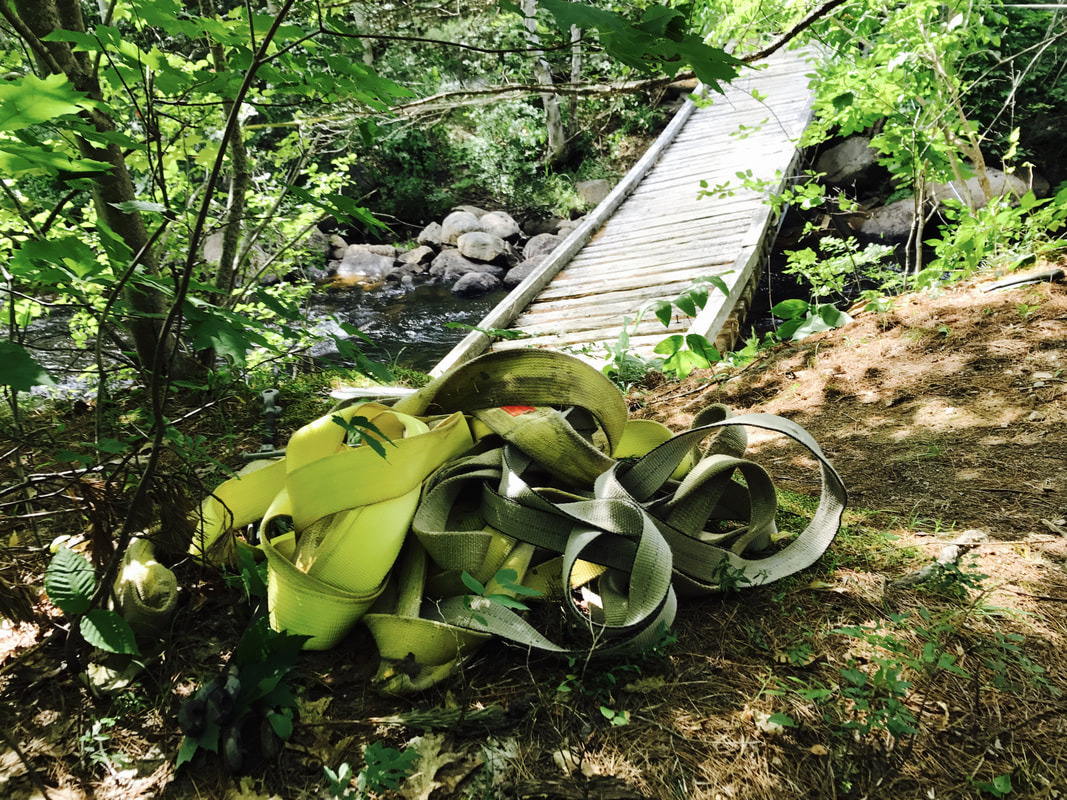
The mosquitoes let up slightly as I approach Nesowadnehunk Stream, where I find a bright orange rope blocking the trail. 4 rangers have cut the existing wood bridge in two, so that both halves are slanted sideways, held up by carabiners and ropes attached to nearby trees.
“Excuse me! Is there an alternate route up?” I call out.
One ranger looks over. He’s perched on one end of the bridge, an orange hard hat on his head.
“No!” he calls back. He pauses, considering. “You can cross. At the moment, it’s still safe.”
I walk onto half of the bridge. “Are you sure?!”
“Yeah. It just seems dicey.”
I make it across the slanted, halved bridge without incident . Once across, I run into another ranger, who’s collecting yellow check-in slips. I hand him mine.
“You’re probably the last person to cross that bridge,” he tells me.
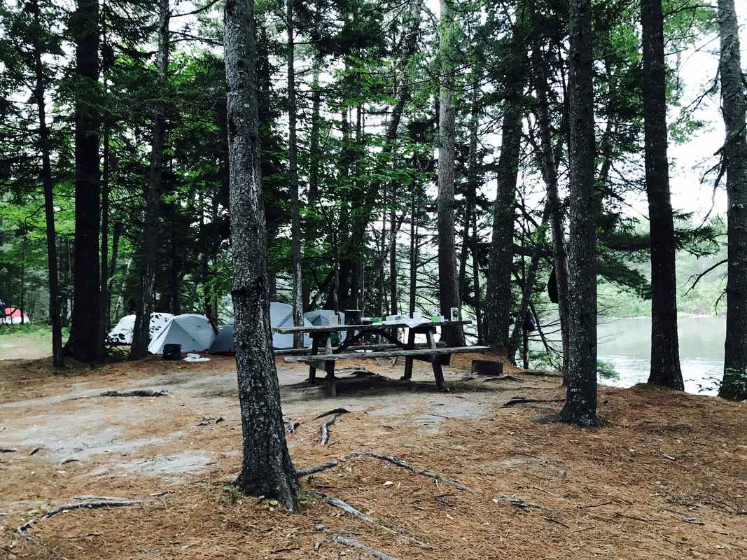
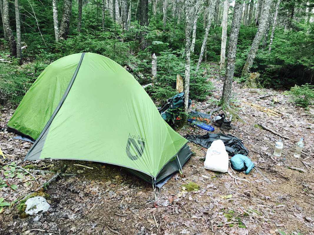
That afternoon, I snag the last spot at Abol Pines Campsite. The large group of girls I saw on Katahdin comes by an hour later. I offer to share the site: there’s plenty of room.
Their leaders introduce themselves as Reese and Sarah, head of a girls’ backpacking camp. They’d already hiked 80 miles of the 100 Mile Wilderness, and would be returning home the next day. The girls immediately start on their chores. Some collect water, some chop vegetables, and others cook dinner. It’s like watching finely tuned clockwork.
They even invite me to dinner! Cheesy baked beans and rice with fresh onions, and blueberry pie crust for dessert! Delicious!
Most of the girls have trail names, and they chatter excitedly, telling me about themselves and asking me about the trail.
"Curry Power because she really likes curry powder, "Edna Mode because she found these sunglasses that made her like like Edna Mode from The Incredibles,
"Chocolate Chipmunk because she really likes chocolate and when she eats it, she looks like a chipmunk,
"Trader Zoe because she has these bars that she really likes and she makes ridiculous trades for them, and her name is Zoe,
"Agent Yams because she doesn't talk much, but she has these random things she's really good at, and once, when she talked, she said YAMS really loudly!"
- The girls from the girls' backpacking camp
When I wake, I find a local man walking by our campsite.
“Are the mosquitoes always this bad?” I ask him, already scratching at several new bites for the day.
He shrugs. “You get used to them.” A pause. “I have something for you.”
He produces a small bottle of 100% DEET repellent from his fishing case. “Be careful with that. I’ve had it burn holes in my bags when it spilled.”
I thank him, spritz the repellent onto my arms and legs, then stash the bottle in a ziplock bag in the outermost pocket of my pack. If it leaks, it should be safe there. The mosquitoes seem to let up slightly: They still hover near me, but no longer dive in for the bite.
Thunderstorms roll through early in the day. I awkwardly put my poncho onto my pack, hoist the pack up, and pull the poncho over my head. As I walk, I hold the front of the poncho out in front of me to catch the rain and protect my boots from soaking through. Every minute or so, I flip the poncho to one side, letting inches of collected rain spatter onto the ground.
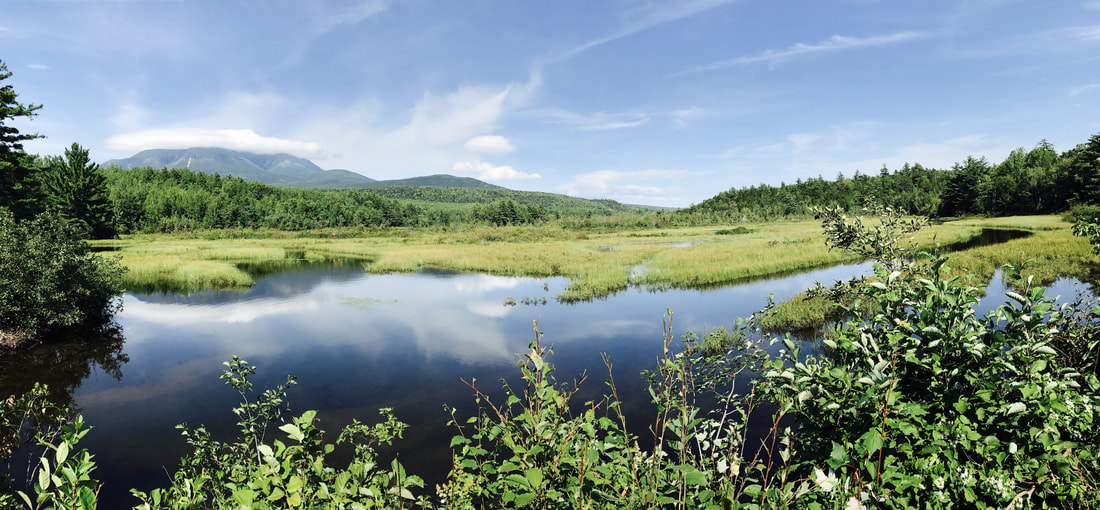
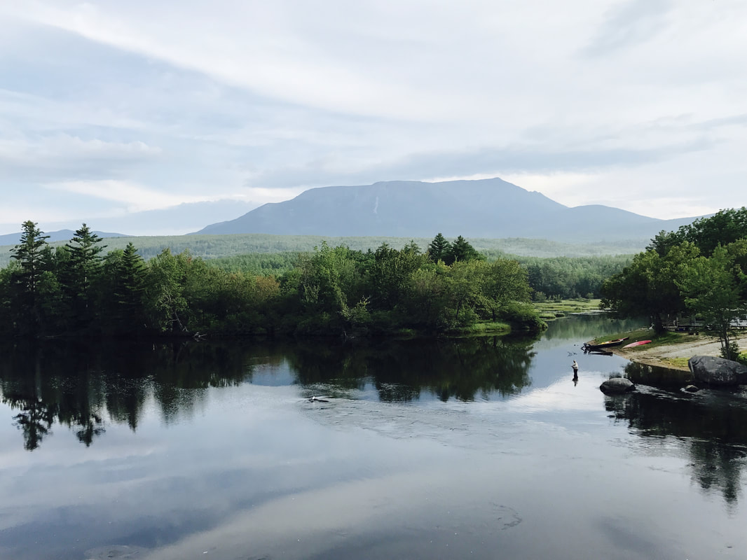
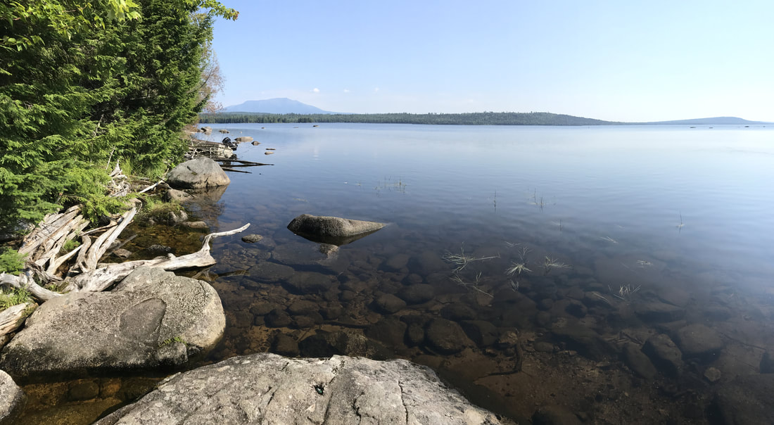
Mt. Katahdin rises sharply from the surrounding landscape, visible from many viewpoints deep within the 100 Mile Wilderness. One of these viewpoints is on Nesuntabunt Mountain, a nondescript little bump on my profile map.
When I trek out onto the short side trail to view Katahdin, I find that I am not alone. Another man sits there, checking his phone as he takes in the view.
“My cousin died,” he says conversationally, reading his texts.
“Sorry to hear that,” I tell him, somewhat startled.
“He was ridiculously handsome,” the man muses. “Growing up with him, he was one of those guys who’d walk down the street and be surrounded by girls…He was gay.”
He doesn’t seem outwardly upset. As I turn to go, I leave him an orange I’d gotten from dayhikers earlier in the day.
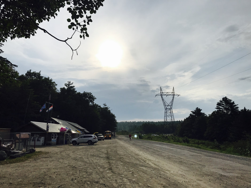
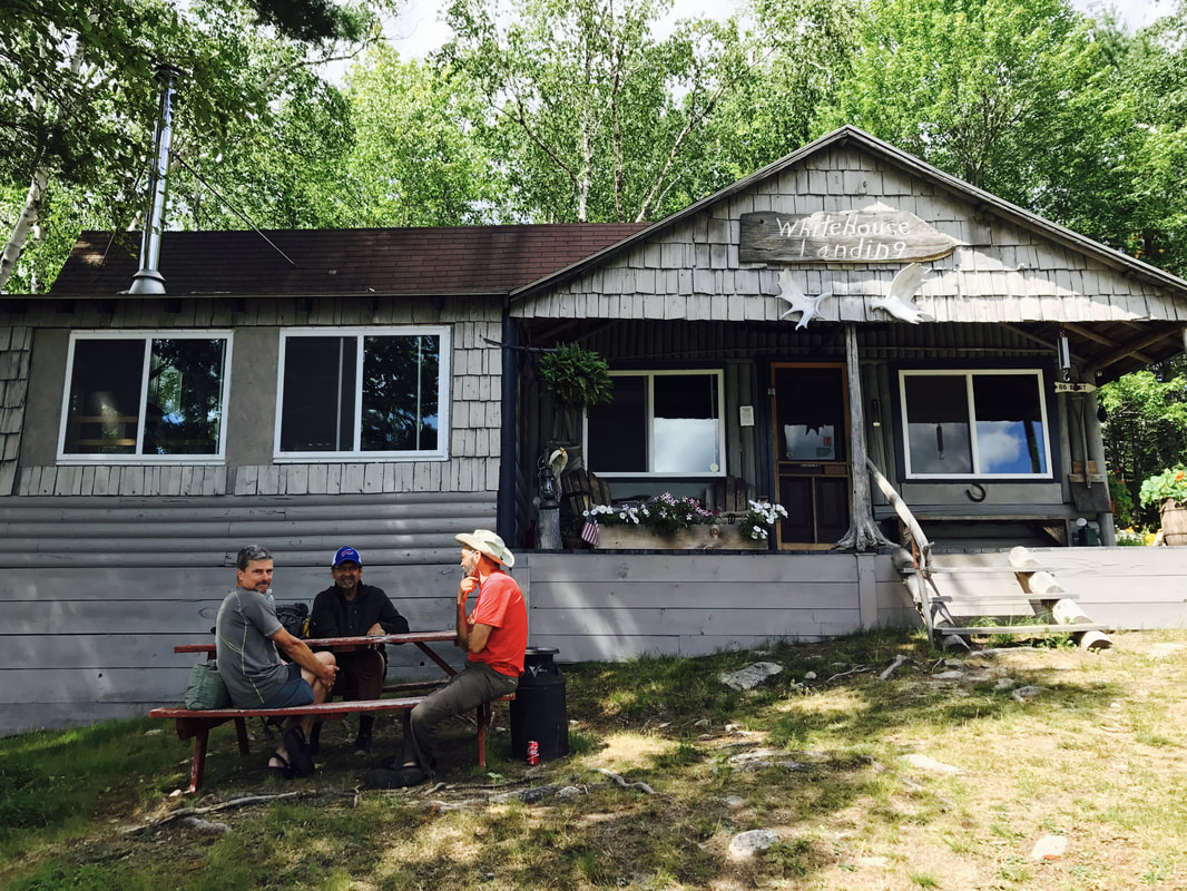
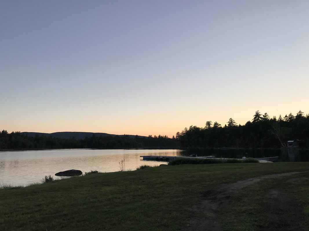
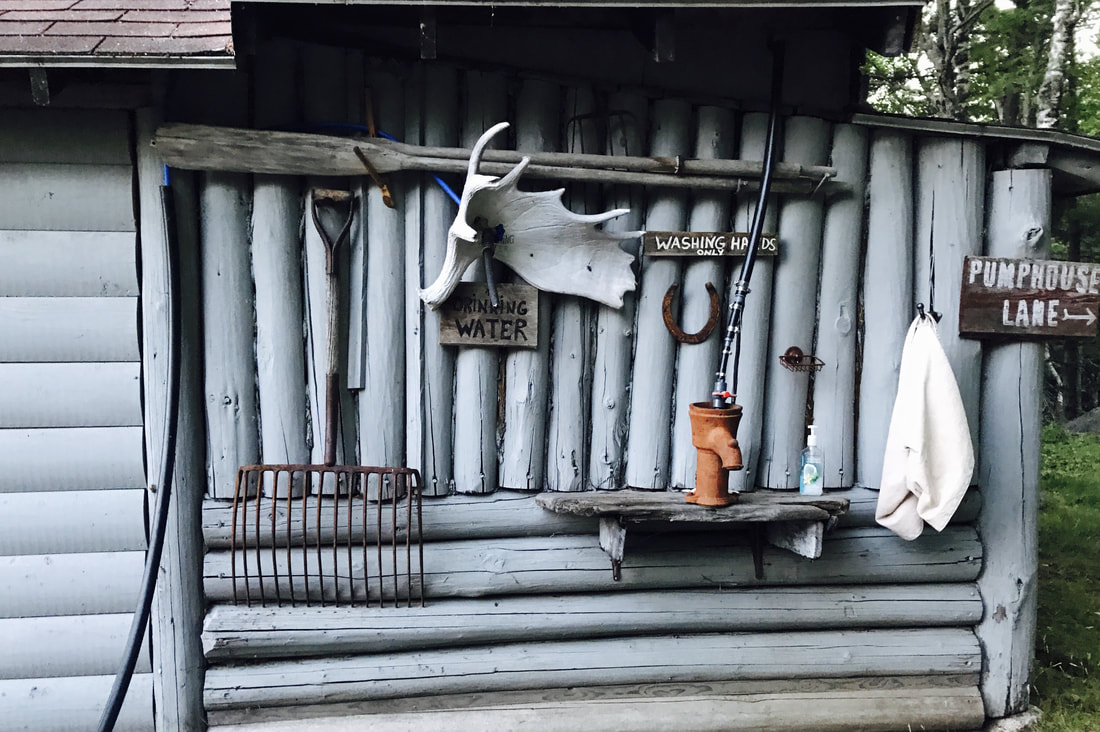
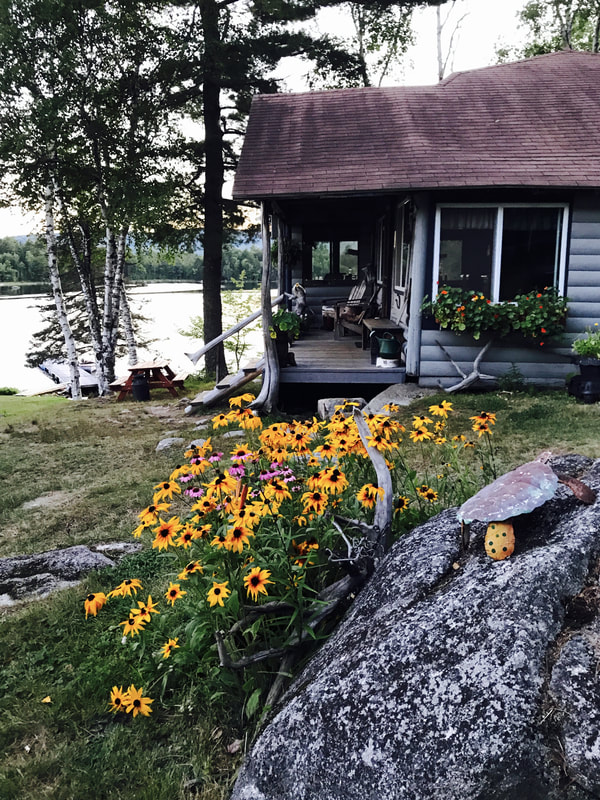
White House Landing is the only hostel - indeed, one of the only signs of civilization - in the 100 Mile Wilderness. A series of cabins located on the shores of Pemadumcook Lake, White House Landing is reached via boat. At midday, I follow a side trail to Mahar Landing, where I find a simple wooden dock and a handheld radio. I call the hostel.
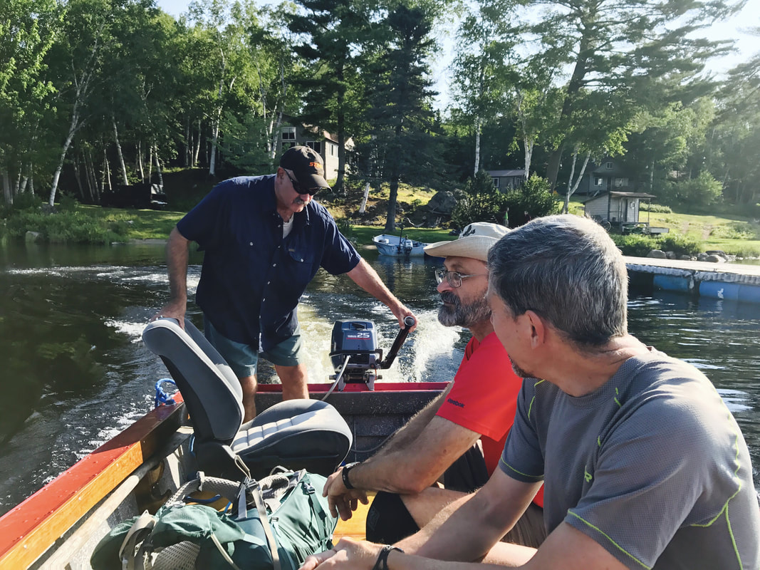
20 minutes later, I am speeding across the lake in a small, motorized boat captained by Bill, the owner of the hostel.
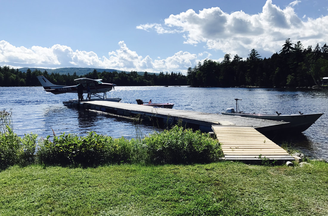
Rain showers pass overhead as I join a group of 3 hikers at a picnic table in front of the main cabin, which contains the kitchen, dining room, and store. Purple Crayon, a dark-haired restaurateur out to join his son for four days, has just called for a seaplane to fly him to the airport.
“Wait – there’s actually a plane that’s going to land here?! In the lake?” I ask.
Apparently so. Purple Crayon expects the plane to arrive once the rain showers clear.
“I asked my friend - he’s a pilot - if he could land his plane in the lake,” one of the other hikers notes. “He said, ‘Yeah. Once.’“
The other two hikers are northbound: Plow is a thru-hiker, lean with pepper gray hair, and Hoot is a section hiker, tall, thin and thoughtful in his bright red shirt. Both just hiked through the White Mountains and Southern Maine, arguably the toughest areas of the Appalachian Trail.
“How were the Whites?” I ask them.
Plow and Hoot exchange a look. “That depends,” Hoot says seriously. “Do you have a death wish?”
"There's a lot of interesting people around Cape Cod...For $100, you can get 10,000 oyster seed, but you have to go out there 2-3 times a week and shake the oyster cages, or they'll grow together like rock."
"The best restaurants make a profit of 5%. The Cheesecake Factory, which has the highest profit margin, makes 22%." - Purple Crayon, section hiker
A couple hours later, the clouds part, and we hear a plane whirring above. It’s a small aircraft, with what looks like skis in place of wheels. The plane circles around once, then heads straight for the lake. Hoot and Plow rise to get a better look while Purple Crayon hoists his pack onto his shoulders, and despite myself, I find myself running down to the shore, iPhone in hand, snapping shot after shot of the plane as it lands. Hoot smiles as he catches sight of me grinning ear to ear. I feel like a girl in elementary school again, learning something new and exciting for the first time.
That night, I split a pizza with Hoot and Plow. Hoot pushes the last couple slices towards me. “If you’re a real hiker, you’ll finish that.”
"When I first started the trail, I really wanted to see an owl. I was thinking of taking the name Owl, but this guy said, 'Hoot is better.'" - Hoot, section hiker
After breakfasting on fresh eggs and pancakes, Hoot, Plow, and I walk out to the dock and lift our packs into the waiting boat. The engine putters as Bill starts the boat to shuttle us back across the lake.
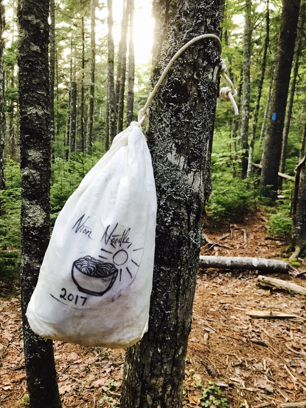
I settle down at Antlers Campsite for an hour-long lunch of goldfish crackers. To cut down on my pack weight, I decided to go stoveless for the 100 Mile Wilderness. As a result, all my food consists of light, high-calorie, processed snacks: lots of crackers, cereal, cold ramen, and cold mashed potatoes, none of which are in the least bit appetizing.
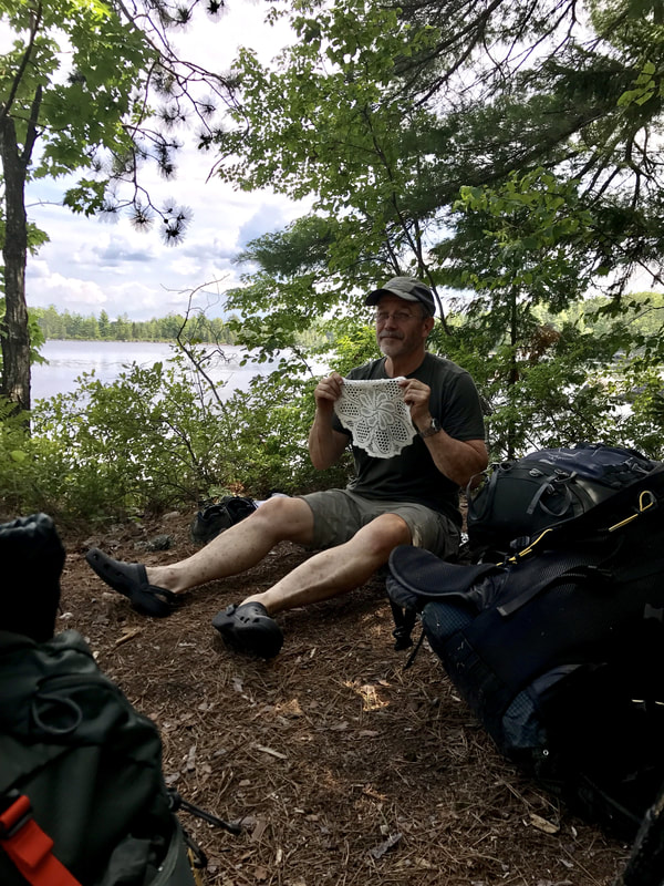
A group of four middle-aged men stop by, laughing and telling tales from their section hikes. One introduces himself as Doily Boy.
“How’d you get that name?” I ask.
He digs in his pack for a second and holds up a doily.
“It stuck to his velcro from the hotel, and he didn’t even notice,” one of the other guys says.
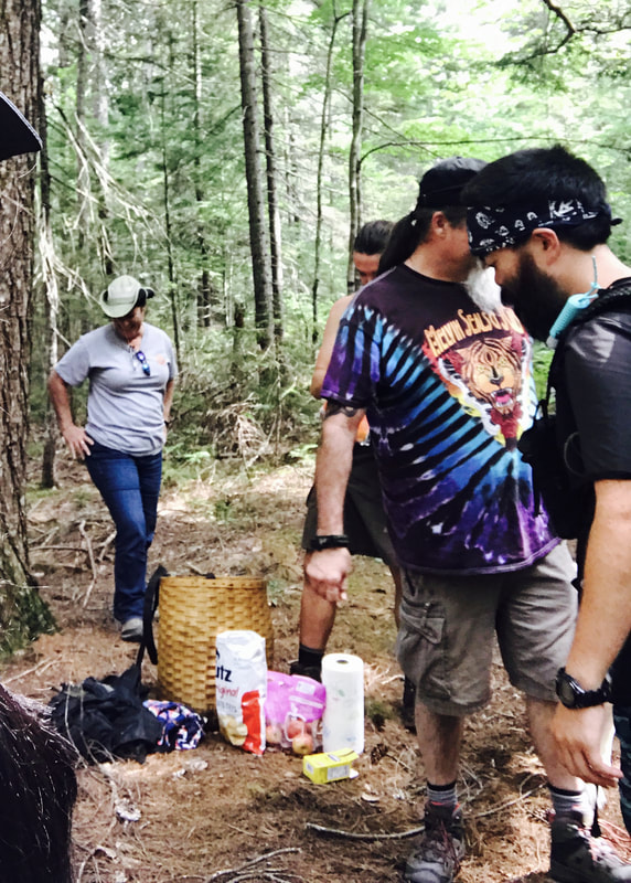
Later in the day, I run into dayhikers Sean and Gigi, who’ve carried in a wicker basket full of bread and sandwiches as trail magic. I stop by to chat and enjoy a sandwich.
“My grandfather used to own cabins down here,” Sean tells me. He unfolds a map and points. “He’d pick them up from the train station, take them to the boat, portage them across” - he traces his finger across a lake - “and get here.”
At night, I share the shelter with Timex, a clean-shaven, neatly dressed man with an interest in trip planning. He echoes what other hikers told me about southern Maine and New Hampshire. “Southern Maine was worse than the Whites,” he says. “I hiked with a group of NOBOs who did 15-20 through the Whites, but took 10 days to do 110 miles in Southern Maine.”
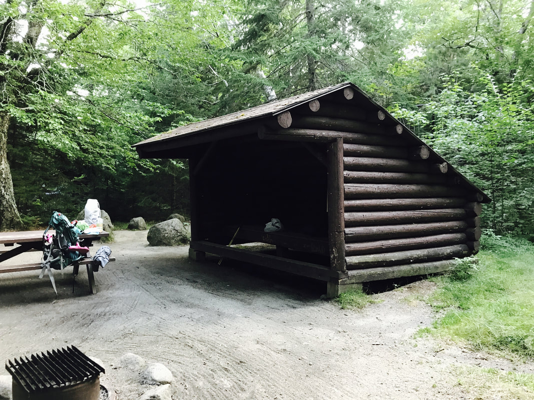
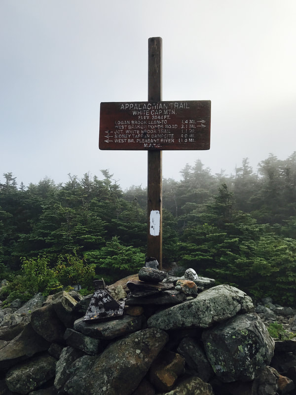
The 100 Mile Wilderness stays relatively tame until its southern 30 miles, where I must traverse over the Whitecap and Chairback mountain ranges. I reach Logan Brook Lean-to, halfway up Whitecap Mountain, in the afternoon, and decide to stay there to wait out an incoming storm. A northbound hiker, Megaphone, stops by for a snack.
“I’m just ready to be done,” he tells me.
“Well, the terrain for you is going to be really flat - flat, flat - from here to Katahdin,” I say.
“I wish I had good news for you,” he says. “But from here on out, every day is just gonna get harder and harder for you, until you get to a certain point in the Whites, and then it’ll get very, very gradually easier.”
I swallow my dread. From what other northbound hikers have said, the Whitecap Range is easier than the Chairbacks; the Chairbacks will be my first taste of southern Maine.
Half the battle is mental, I remind myself. Take it day by day.
2,189.8 miles. Day by day, I chip away at this goal. I begin recording the miles I have left, down to the nearest tenth, at the end of each day, just to prove to myself that I’m making progress. Just like any big goal in life, I think. Keep moving forward.
I meet another flip-flop hiker at Logan Brook Lean-to: Wandering Star. She is a former thru-hiker, rail thin, with short white hair and a British accent. A pack of Marlboro cigarettes is carefully packed in her fanny pack.
“We were up on Whitecap in October,” she says, “and had a whiteout. We couldn’t see. Finally, I said, ‘Let’s set up our tents right here.’
“We got into our sleeping bags to warm up. Next morning, I made double oatmeal for Lucky Star.
“‘For me?’ she said.
“‘Yes.’
“I knew that if we were ever going to get off this mountain, she was our best shot.”
“And you still came back?!” I ask.
“Oh, I love it,” she says.
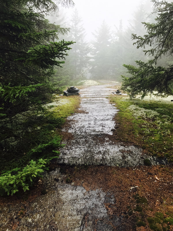
I get lovely views of fog on the Whitecap Range. At least the terrain is tolerable, with many rock steps. The Chairbacks, though, nearly beat the fight out of me.
Ready to quit, I write in my journal. 13.5 miles. 6:11 am - 7:21 pm. Rock scrambles. Terrifying. Too tired to write. Or eat dinner. No water.
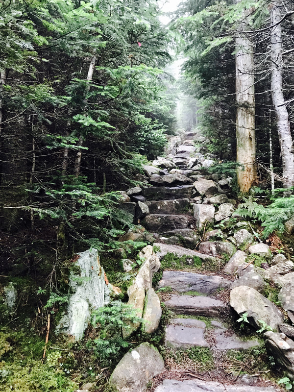
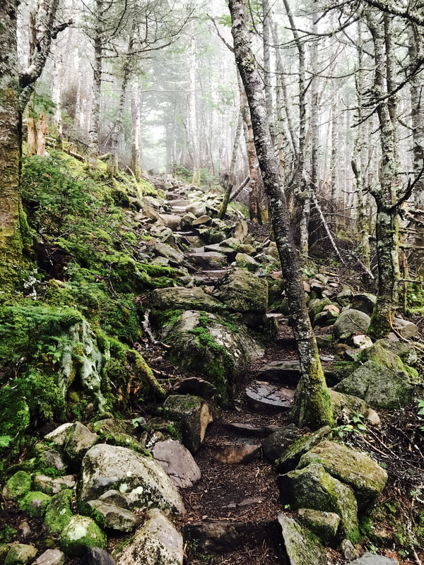
I face long stretches of steep, rocky terrain for the whole day. Not long after dawn, I find myself staring down a wall of medium-sized boulders: a rock slide up to the summit of Chairback Mountain. All day, I venture up and down ledges laced with roots and loose gravel. On each ledge, I can envision myself falling and bouncing off the face of the mountain.
Physics doesn’t work like that, I tell myself, to no effect.
I remember, despairingly, Megaphone’s warning that the trail just gets worse from here. As I carefully pick my way up the deceptively small bump on my map that is Chairback Fourth Mountain, I find that I have a phone signal. I call home, unable to keep panic from creeping into my voice. I never anticipated the steepness, the ruggedness, of Maine. I knew the trail would be rocky at times, but the boulders, the long slabs of slippery slate and granite along cliff edges - these shake me to my core. My brain exaggerates the distance and consequences of every fall, so that every step feels like a deadly move.
Fear does not act rationally. My fear clouds every shred of reason from my thoughts as stress floods my veins with cortisol. It’s hard to breathe. Hard to eat. Hard to move.
And so, I ask Mom to meet me the next day, a few days earlier than planned. We will travel to New Hampshire the next week: My aunt, uncle, and cousin are visiting the White Mountains, and we plan to meet them.
At night, I lay out my sleeping bag and crawl in without bothering to eat dinner. One more night and one more day, I think. Perhaps my last day and night on trail, if I quit. Even in my fear-addled state, I feel a pang of regret. Ah, well. Nothing ventured, nothing gained.